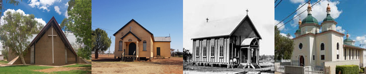
Queensland Religious Places
About - how this project developed
The project began as leisurely pursuit. It began when I started traveling around Queensland undertaking heritage studies and surveys as a sideline, I began photographing churches. I thought they are buildings not often photographed and just to make a record of what could be potentially useful. Nothing very systematic but just when the occasion arose would do at least some of the churches in a town or city. Also in doing a number of local government heritage surveys, places of worship were identify churches with heritage significance.
The second aspect of this 'hobby' was to to develop an online database. After setting up my own website, I began dabbling in coding with PHP. I found a useful program based on PHP that made it possible to set up a online database. That worked for about ten years but a couple of years ago that program stopped working due to upgrades. So I decided to built my own database using PHP. So this is what is here now. I also discovered a very useful tool for creating online maps called Leaflet.
As the project developed I became aware of other researchers and enthusiasts that had material that could contribute to the datebase. But more importantly I realised that a comprehensive dataset could have enormous potential in researhicng and analsysing religion in Queensland
Method
The aim is to record all - existing, demolished, converted to other uses - religious places. This includes all faiths and the only limitation that private chapels are not considered
Each record in the database contains these fields:
Sources
A remarkable array of sources that make this project more achievable and comprehensiveAims/outcomes
Some of the aims/outcomes
A collaborative project
This project has benefited greatly from the collective efforts or numerous individuals. John Huth developed an database of Queensland churches from street directories and searching google maps. His most significant contribution is the more than 1200 images of Queensland churches that he has taken in the past ten years (350 images in 2018 alone).
Kerry Raymond has make an invaluable contribution to the database. Kerry has researched and authored numerous Wikepedia articles on Queensland topics, in particular Queensland towns and cities and has used these skills and experience in adding to and correcting entries. Her ability to not only thoroughly research digitised newspapers but all parts of the web for obscure references has enriched the entries in the database.
Exporting the database
The database is available for anyone who wishes to use the data for further research. The data can be analysed to examine a wide range of questions. The database is downloadable in csv format. Any published material based on the data, please attribute © 2025 Thom Blake CC BY 4.0.